2024
CHRS iRain
Modernized a NASA-satellite rainfall visualization platform from legacy PHP to a PERN stack - 35% faster, with a rebuilt mapping UI.
Overview
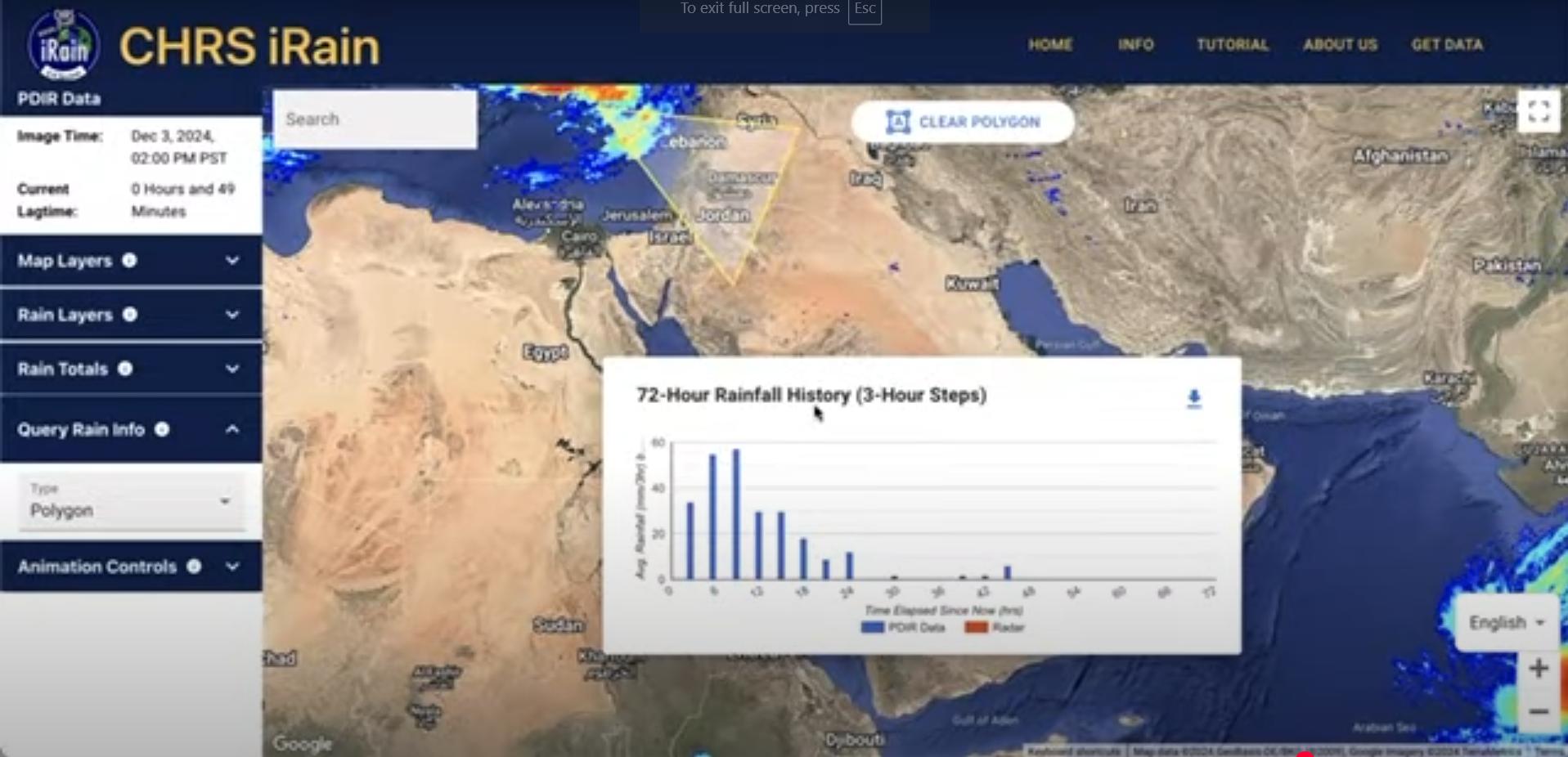
iRain is a platform from UC Irvine's Center for Hydrometeorology and Remote Sensing (CHRS) for visualizing global satellite precipitation data derived from NASA observations - used by researchers and the public to explore rainfall in near real time. Its PDIR-Now layer renders live rain intensity across the globe, from the Middle East to the tropics, with map, rain, and animation controls for exploring storms as they evolve.
The project was a modernization: migrating a legacy PHP codebase to a modern React, Express, and Node stack with a TypeScript frontend. Google Maps API and MapServer power the interactive, multi-layered visualizations - political divisions, watersheds, and real-time rain overlays. The rebuilt data layer and mapping UI cut page load times by 35%.
Beyond performance, the migration made the codebase maintainable for the research group - typed interfaces over ad-hoc PHP endpoints, and a component-based map UI that new contributors can extend.
Highlights
- Legacy PHP → React + TypeScript + Express migration.
- 35% faster page loads after the rebuild.
- Rebuilt interactive mapping UI with Google Maps API and MapServer - layer, rain-total, and animation controls.
- Multi-layered overlays: political divisions, watersheds, and real-time rain data.
- Live PDIR rain-intensity rendering derived from NASA satellite observations.
- Architected for future expansion to native iOS and Android via React Native.
- Deployed on AWS for the CHRS research group at UC Irvine.